Home > Europe > United Kingdom > England > London > Boroughs > Kingston upon Thames
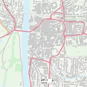
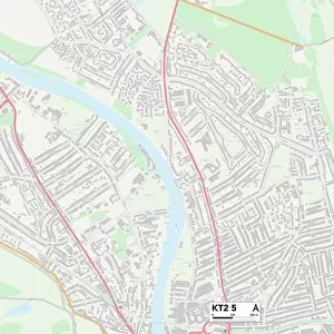
Kingston upon Thames KT6 4 Map

![]()
Wall Art and Photo Gifts from Map Marketing
Kingston upon Thames KT6 4 Map
Postcode Sector Map of Kingston upon Thames KT6 4
Media ID 19972762
Adelaide Road Arlington Road Cadogan Road Church Hill Road Claremont Road Dolphin Close Grove Road Kingston Upon Thames Maple Road North Road Portsmouth Road Ravens Close St Andrews Road St Andrews Square St James Road St Leonards Road St Marys Road St Philips Road Station Approach The Crescent The Mall Victoria Road Westfield Road Surbiton
FEATURES IN THESE COLLECTIONS
> Arts
> Artists
> R
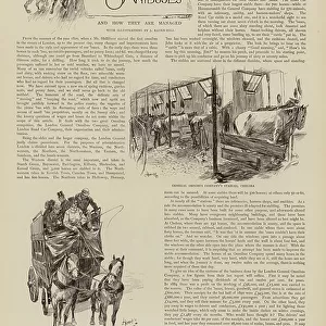
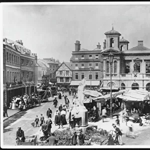
> Leonard Raven-Hill
> Europe
> United Kingdom
> England
> London
> Boroughs
> Kingston upon Thames
> Europe
> United Kingdom
> Scotland
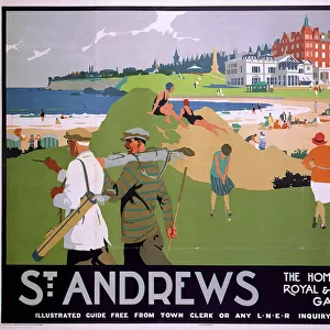
> Fife
> St Andrews
> Map Marketing
> Postcode Sector Maps
> KT - Kingston upon Thames
> Maps and Charts
> Related Images
MADE IN THE USA
Safe Shipping with 30 Day Money Back Guarantee
FREE PERSONALISATION*
We are proud to offer a range of customisation features including Personalised Captions, Color Filters and Picture Zoom Tools
SECURE PAYMENTS
We happily accept a wide range of payment options so you can pay for the things you need in the way that is most convenient for you
* Options may vary by product and licensing agreement. Zoomed Pictures can be adjusted in the Cart.