Home > Europe > United Kingdom > Scotland > Scottish Borders > Lauder
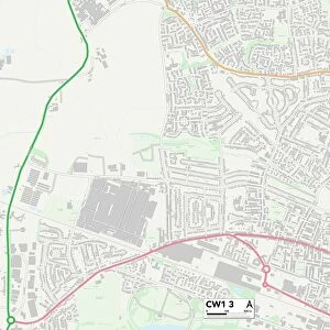
Wolverhampton WV13 3 Map

![]()
Wall Art and Photo Gifts from Map Marketing
Wolverhampton WV13 3 Map
Postcode Sector Map of Wolverhampton WV13 3
Media ID 19983072
Alamein Road Ambrose Close Arnhem Road Aston Road Beech Road Boundary Close Bridge Street Brook Road Burford Close Cedar Road Chiltern Drive Cleveland Close Dahlia Close Evans Street Fawley Close Glebe Road Grafton Drive Hathaway Close Hill Road Hogarth Close Holman Close Lakeside Close Lauder Close Lowry Close Marshall Road Moseley Road Mount Road New Street Oak Road Packwood Close Park Avenue Parkside Avenue Petworth Close Rose Gardens School Street Shoreham Close South Street Strawberry Lane Summer Street Swan Place Tarn Close Thornton Road Uplands Avenue Uplands Road Vaughan Road Vernon Close Watery Lane Webb Street Westfield Road Wolverhampton Middle Avenue Portobello
FEATURES IN THESE COLLECTIONS
> Europe
> United Kingdom
> England
> Cleveland
> Europe
> United Kingdom
> Scotland
> Scottish Borders
> Lauder
> Map Marketing
> Postcode Sector Maps
> WV - Wolverhampton
> Maps and Charts
> Related Images
MADE IN THE USA
Safe Shipping with 30 Day Money Back Guarantee
FREE PERSONALISATION*
We are proud to offer a range of customisation features including Personalised Captions, Color Filters and Picture Zoom Tools
SECURE PAYMENTS
We happily accept a wide range of payment options so you can pay for the things you need in the way that is most convenient for you
* Options may vary by product and licensing agreement. Zoomed Pictures can be adjusted in the Cart.