Home > Europe > United Kingdom > England > London > Boroughs > Ealing
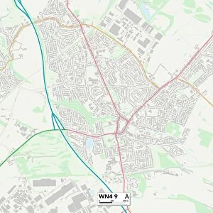
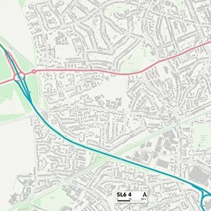
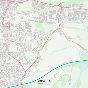
Ealing UB1 3 Map

![]()
Wall Art and Photo Gifts from Map Marketing
Ealing UB1 3 Map
Postcode Sector Map of Ealing UB1 3
Media ID 19982248
Argyll Avenue Avenue Road Baird Avenue Brindley Way Darwin Drive Ealing Edison Drive Faraday Road Farm Close Fleming Road Green Drive Greenfields Greenford Road Haldane Road Knowsley Avenue Longford Avenue Lyndhurst Avenue Mark Close Masefield Avenue Melrose Drive Milford Road Oakwood Avenue Park Avenue Park View Road Stamford Close Swan Road Telford Road Uxbridge Road Villiers Road Wallis Road Windmill Place Southall
FEATURES IN THESE COLLECTIONS
> Europe
> Italy
> Lombardy
> Milan
> Europe
> United Kingdom
> England
> London
> Boroughs
> Ealing
> Europe
> United Kingdom
> Scotland
> Argyll
> Europe
> United Kingdom
> Scotland
> Scottish Borders
> Melrose
> Map Marketing
> Postcode Sector Maps
> UB - Uxbridge
> Maps and Charts
> Related Images
MADE IN THE USA
Safe Shipping with 30 Day Money Back Guarantee
FREE PERSONALISATION*
We are proud to offer a range of customisation features including Personalised Captions, Color Filters and Picture Zoom Tools
SECURE PAYMENTS
We happily accept a wide range of payment options so you can pay for the things you need in the way that is most convenient for you
* Options may vary by product and licensing agreement. Zoomed Pictures can be adjusted in the Cart.