Home > Europe > France > Canton > Landes
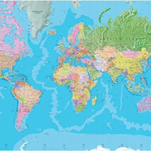
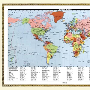
Childrens Political World Map

![]()
Wall Art and Photo Gifts from Map Marketing
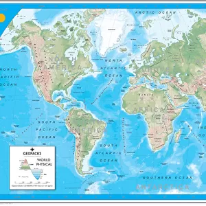
Childrens Political World Map
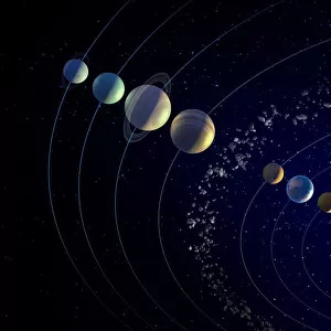
A Political map of the World designed for school children. Based on the Van Der Grinten projection, the World map displays international political boundaries, including ones which are disputed. The map clearly marks each country in a different colour and shows major cities in five different population bands, with capital cities clearly marked in red. The corners of the map feature inserts showing the layout of the solar system and phases of the moon along with graphics ranking the four largest countries by population and land mass in comparison to the British Isles. Lines of latitude (parallels) and longitude (meridians) are marked
Media ID 19950545
© Map Marketing Ltd
FEATURES IN THESE COLLECTIONS
> Europe
> France
> Canton
> Landes
> Maps and Charts
> Popular Maps
> Maps and Charts
> Related Images
> Maps and Charts
> World
MADE IN THE USA
Safe Shipping with 30 Day Money Back Guarantee
FREE PERSONALISATION*
We are proud to offer a range of customisation features including Personalised Captions, Color Filters and Picture Zoom Tools
SECURE PAYMENTS
We happily accept a wide range of payment options so you can pay for the things you need in the way that is most convenient for you
* Options may vary by product and licensing agreement. Zoomed Pictures can be adjusted in the Cart.