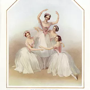
Home > Europe > United Kingdom > England > London > Art > Theatre
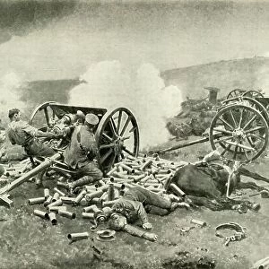
Map Showing the Forts of Liege, 1919. Creator: London Geographical Institute

![]()
Wall Art and Photo Gifts from Heritage Images
Map Showing the Forts of Liege, 1919. Creator: London Geographical Institute
Map Showing the Forts of Liege, 1919. Forts in Belgium during the First World War, 1914-1919. From " The History of the Great European War: its causes and effects", Vol. II, by W. Stanley Macbean Knight. [Caxton Pulishing Company, Limited, London, 1919]
Heritage Images features heritage image collections
Media ID 19047687
© The Print Collector/Heritage Images
Aachen Caxton Publishing Company Caxton Pulishing Company Caxton Pulishing Company Lim Caxton Pulishing Company Limited Caxton Pulishing Company Ltd Fort Forts Knight Koln Liege Limited London Geographical Institute North Rhine Westphalia Stanley Macbean Stanley Macbean Knight Theatre Of War W Stanley Macbean W Stanley Macbean Knight Wallonia William Stanley Macbean William Stanley Macbean Knight Aix La Chapelle
FEATURES IN THESE COLLECTIONS
> Arts
> Artists
> C
> William Caxton
> Europe
> Belgium
> Related Images
> Europe
> United Kingdom
> England
> London
> Art
> Theatre
> Europe
> United Kingdom
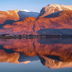
> Scotland
> Highlands
> Fort William
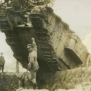
> Historic
> World War I and II
> World War I
> Historic
> World War I and II
> World War II
> Historic
> World War I and II
EDITORS COMMENTS
This print titled "Map Showing the Forts of Liege, 1919" takes us back to the tumultuous era of the First World War. Created by the London Geographical Institute, this map showcases the strategic forts in Liege, Belgium during the war years from 1914 to 1919. The image is sourced from W. Stanley Macbean Knight's comprehensive book "The History of the Great European War: its causes and effects", Volume II. With vibrant colors and intricate details, this map provides a visual representation of an important theater of war during that time. It highlights not only the fortifications themselves but also their geographical location within Wallonia, Belgium. As we explore this historical artifact, we can't help but imagine how these forts played a crucial role in shaping military strategies and protecting territories. The significance of this map extends beyond its artistic appeal; it serves as a reminder of the immense sacrifices made by soldiers on both sides during World War I. By studying such maps and understanding their context, we gain valuable insights into one of humanity's most devastating conflicts. As we delve into history through images like these, let us remember those who fought bravely amidst unimaginable circumstances and honor their memory while striving for peace in our own time.
MADE IN THE USA
Safe Shipping with 30 Day Money Back Guarantee
FREE PERSONALISATION*
We are proud to offer a range of customisation features including Personalised Captions, Color Filters and Picture Zoom Tools
SECURE PAYMENTS
We happily accept a wide range of payment options so you can pay for the things you need in the way that is most convenient for you
* Options may vary by product and licensing agreement. Zoomed Pictures can be adjusted in the Cart.