Art Prints, Posters and Puzzles

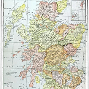
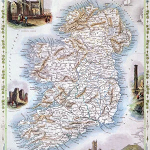
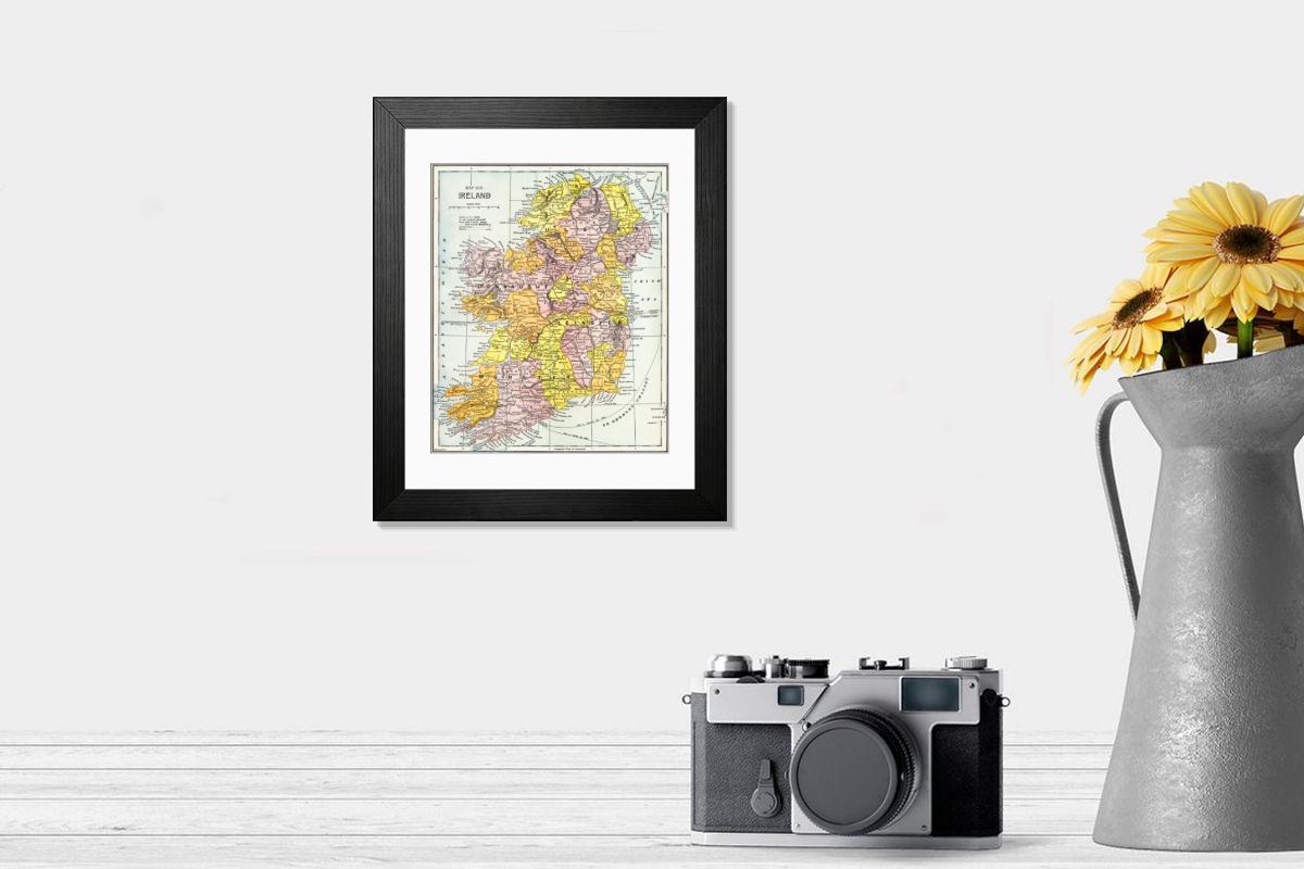
MAP: IRELAND, c1890. Map of Ireland, c1890, published in the United States

Framed Print : MAP: IRELAND, c1890. Map of Ireland, c1890, published in the United States
product preview 0
product preview 1
product preview 2
product preview 3
product preview 4
Size Guide

Open 3D Preview

Framed Prints

£69.98

This artwork is available as

Prints
Framed Prints
Poster Prints
Fine Art Prints
Canvas Prints
Cards
Jigsaw Puzzles
Mounted Prints
Home Decor
Metal Prints

Framed Print of MAP: IRELAND, c1890. Map of Ireland, c1890, published in the United States

MAP: IRELAND, c1890. Map of Ireland, c1890, published in the United States. Granger holds millions of images spanning more than 25,000 years of world history, from before the Stone Age to the dawn of the Space Age.

Your chosen combination is quickly and professionally made to order - Shipping & Delivery Details

If you are not entirely happy with your items, simply return them to us within 30 days for a replacement or full refund - 30 Day Returns

Media ID 6620125


Ireland Irish

Fast Delivery
Great Value
100% Secure Payment
30 Day Returns

Modern 14"x12" (36x31cm)

Ready to Hang Contemporary Framed Prints adds style, protection, and a polished touch to your space - effortlessly.

Your artwork will be printed as shown in the preview. To adjust please select Print Options under the Buy button

Wood effect frame, card mounted, 10x8 fade resistant photo print. Overall outside dimensions 14x12 inches (36x31cm). Environmentally and ozone friendly, 40mm wide x 15mm Polycore® moulding has the look of real wood, is durable and light and easy to hang. Biodegradable and made with non-chlorinated gases (no toxic fumes) it is efficient; producing 100 tons of polystyrene can save 300 tons of trees! Prints are glazed with lightweight, shatterproof, optical clarity acrylic (providing the same general protection from the environment as glass). The back is stapled hardboard with a sawtooth hanger attached. Note: measurements provided are estimated outer dimensions, which include both the image and the frame. While we aim to keep sizing consistent, exact dimensions may vary slightly due to differences in print size or production requirements, which may result in a variation in the overall size (up to approximately 2.5cm (1"))

These are individually made so all sizes are approximate

Estimated Image Size (if not cropped) is 19.3cm x 23.5cm (7.6" x 9.3")

Estimated Product Size is 31cm x 36cm (12.2" x 14.2")

Features in These Collections

Home > Maps

Gallery Wall Inspiration


ST. PETERSBURG, RUSSIA. A German plan, published in 1738
Print of the Philippines, 1905 Map
MAP: NEBRASKA, 1867. Map of Nebraska and Dakota and portions of the states
19th Century Scotland Print
MAP: THIRTEEN STATES. A map of the thirteen original American states, the Northwest Territory
Print of the British Empire Map, 1886
Print of a 16th-century map of Italy
MAP: JAMAICA, 1752. British map of the island of Jamaica, divided into its principal parishes
MAP: JAMAICA, 1764. French map of Port Royal, Jamaica, by Jacques Nicolas Bellin
1893 British Map Print of Jamaica
MAP: JAMAICA, 1767. French map of the islands of Jamaica and Bermuda, published 1767
Print of the Macedonian Empire Map, 4th century B.C
MAP: JAMAICA, 1763. British map of the island of Jamaica, published 1763
Cuba Print, 1900 Map
MAP: JAMAICA, 1756. British map of the harbors of Port Royal and Kingston, Jamaica
1851 Ireland Engraved Print
MAP: JAMAICA, 1755. British map of Jamaica from surveys by Mr. Sheffield, drawn by Patrick Browne
Print of Map of France, c1900 with Paris Inset
Hawaiian Islands Print, 1905 Map
MAP: JAMAICA, 1755. French map of Port Royal in Jamaica by Georges Louis Le Rouge, 1755
MAP: USA, 1783. The United States according to the definitive treaty of peace
Cottonian World Map Print, 11th Century
Plymouth, MA, 1605 Map Print
MAP: AMERICA, 1582. Map of South America by Juan Martinez, 1582
SHAKER VILLAGE MAP, 1849. Diagram of the South part of Shaker Village in Canterbury
Madaba Mosaic Map Print, 6th Century
VESPUCCI'S WORLD MAP, 1526 Print
ISOGONIC MAP, 1888. Isogonic map showing the lines of magnetic declination in the United States
17th Century Venice Map Print
HOLY LAND, 1695. Map of the Holy Land from a Passover Haggadah, 1695
Print of Mansa Musa Seated on Throne
MAP: WALDSEEMUELLER, 1507. Universalis Cosmographia Secundum Ptholomaei Traditionem
Iceland Map Print, 1595
MAP: OAHU, 1881. Map of Oahu, Hawaiian Islands. Map by C. J. Lyons, 1881
Strabo World Map Print, 19th Century Reconstruction
MAP: MAUI, 1885. Map of Maui, Hawaiian Islands. Map by F. S. Dodge, 1885
Color engraving print of St. Brendan and his monks on a whale's back
IRELAND, 1797. Map of Ireland by Daniel Augustus Beaufort, 1797
NEW YORK CITY, 1912. Panoramic view of New York City and vicinity. Lithograph, c1912
Delisle's 1718 Map of Colonial America Print
NEW YORK CITY, c1879. Bird s-eye view of New York City. Map drawn by J. W. Williams
Cantino World Map Print, 1502 Western Half
NEW YORK CITY, 1884. Bird s-eye view of New York and parts of Brooklyn
1840 Indian Sanskrit Print of a Constellation Map
MAP: FLORIDA, 1898. The east coast of Florida is paradise regained
Print of Italy, 1631 Map by Johannes Blaeu
ANDERSONVILLE PRISON, 1864. Plan of the Confederate prison at Andersonville, Georgia
Bering Strait Map Print, 1593
MAP: CIVIL WAR, 1864. Map of the United States, showing the territory in possession
Print of the Continental United States Map, 1905
TENOCHTITLAN Print: Colored Woodcut, 1556
MAP: CIVIL WAR, 1861. Map showing the division of the North and South in 1861. Lithograph
MAP: BROOKLYN, 1890. Map of Kings County, New York. Lithograph, 1890
Willem Blaeu's Americas Print, c1630


© GRANGER - Historical Picture Archive 2026
Orders fulfilled by Media Storehouse®
We accept all major payment options so you can pay for the things you need in the way that is most convenient for you