
Wall Art and Photo Gifts from Mary Evans Picture Library
Map of Yorkshire
A map of Yorkshire, from the mid 18th century. Date: Mid 18th century
Mary Evans Picture Library makes available wonderful images created for people to enjoy over the centuries
Media ID 14168060
© Mary Evans Picture Library
Maps
FEATURES IN THESE COLLECTIONS
> Europe
> United Kingdom
> England
> Yorkshire
> Related Images
> Maps and Charts
> Early Maps
> Maps and Charts
> Related Images
MADE IN THE USA
Safe Shipping with 30 Day Money Back Guarantee
FREE PERSONALISATION*
We are proud to offer a range of customisation features including Personalised Captions, Color Filters and Picture Zoom Tools
SECURE PAYMENTS
We happily accept a wide range of payment options so you can pay for the things you need in the way that is most convenient for you
* Options may vary by product and licensing agreement. Zoomed Pictures can be adjusted in the Cart.
redeem
Beautiful Photo Prints and Gifts
image
Professionally Printed
inventory
Photo Prints are in stock
thumb_up
Professional quality finish
diamond
Made with high-grade materials
inventory_2
Carefully packed to aid safe arrival
Related Images
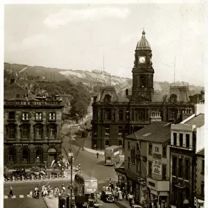
Market Place, Dewsbury, Yorkshire
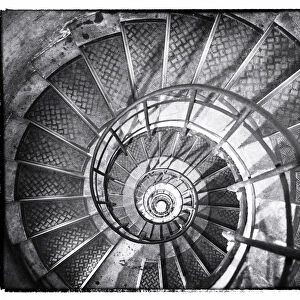
A spiral staircase inside Arc de Triomphe, Paris, France
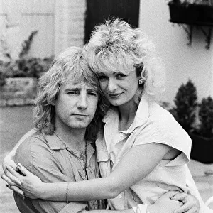
Status Quo band member Rick Parfitt and his new girlfriend Patty Beedon. 12th July 1985

Brian Deane Graham Stuart and Vinnie Jones Chelsea (1) v Sheffield United (0
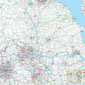
Yorkshire County Road Map
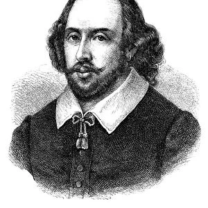
Engraving of english poet William Shakespeare from 1870
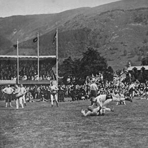
Hexham Clarke Felling His Opponent, c1902, (1903). Artist: W Baldry
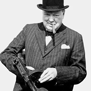
Winston Churchill Holding a Sub-Machine Gun
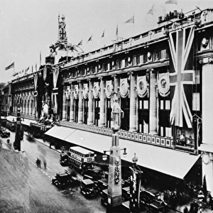
Jubilee decorations, Selfridges, Oxford Street, London W1
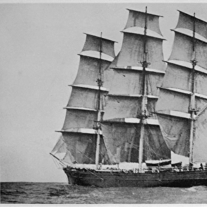
CUTTY SARK AT SEA
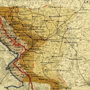
South Yorkshire Coalfield, c. 1925
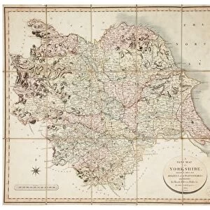
New map of Yorkshire divided into its Ridings, surveyed 1815-1817
Related Collections
Early Maps
Browse 24,704 Prints

Maps and Charts Related Images
Browse 46,659 Prints
Yorkshire Related Images
Browse 12,628 Prints

