Art Prints, Posters and Puzzles

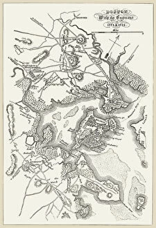
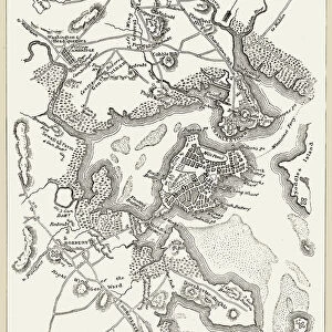
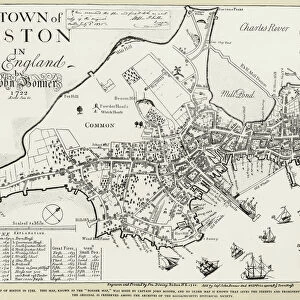
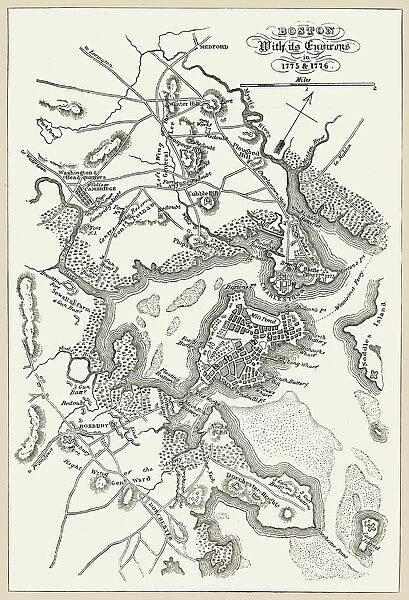
BOSTON: MAP, 1775-1776. Map of Boston, Massachusetts, and the surrounding area, 1775-1776. Line engraving, 19th century

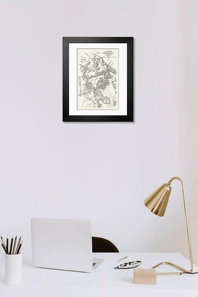
Framed Print : BOSTON: MAP, 1775-1776. Map of Boston, Massachusetts, and the surrounding area, 1775-1776. Line engraving, 19th century
product preview 0
product preview 1
product preview 2
product preview 3
product preview 4
Size Guide

Open 3D Preview

Framed Prints

£69.98

This artwork is available as

Prints
Framed Prints
Poster Prints
Fine Art Prints
Canvas Prints
Cards
Jigsaw Puzzles
Mounted Prints
Home Decor
Metal Prints

Framed Print of BOSTON: MAP, 1775-1776. Map of Boston, Massachusetts, and the surrounding area, 1775-1776. Line engraving, 19th century

BOSTON: MAP, 1775-1776.
Map of Boston, Massachusetts, and the surrounding area, 1775-1776. Line engraving, 19th century. Granger holds millions of images spanning more than 25,000 years of world history, from before the Stone Age to the dawn of the Space Age.

Your chosen combination is quickly and professionally made to order - Shipping & Delivery Details

If you are not entirely happy with your items, simply return them to us within 30 days for a replacement or full refund - 30 Day Returns

Media ID 6181540


1775 1776 American Revolution Boston Colony Rebellion Revolutionary Topography

Fast Delivery
Great Value
100% Secure Payment
30 Day Returns

Modern 14"x12" (36x31cm)

Ready to Hang Contemporary Framed Prints adds style, protection, and a polished touch to your space - effortlessly.

Your artwork will be printed as shown in the preview. To adjust please select Print Options under the Buy button

Wood effect frame, card mounted, 10x8 fade resistant photo print. Overall outside dimensions 14x12 inches (36x31cm). Environmentally and ozone friendly, 40mm wide x 15mm Polycore® moulding has the look of real wood, is durable and light and easy to hang. Biodegradable and made with non-chlorinated gases (no toxic fumes) it is efficient; producing 100 tons of polystyrene can save 300 tons of trees! Prints are glazed with lightweight, shatterproof, optical clarity acrylic (providing the same general protection from the environment as glass). The back is stapled hardboard with a sawtooth hanger attached. Note: measurements provided are estimated outer dimensions, which include both the image and the frame. While we aim to keep sizing consistent, exact dimensions may vary slightly due to differences in print size or production requirements, which may result in a variation in the overall size (up to approximately 2.5cm (1"))

These are individually made so all sizes are approximate

Estimated Image Size (if not cropped) is 16.6cm x 24.4cm (6.5" x 9.6")

Estimated Product Size is 31cm x 36cm (12.2" x 14.2")
Features in These Collections

Home > American Revolution

Home > Boston Maps and Views

You May Also Like


Gallery Wall Inspiration


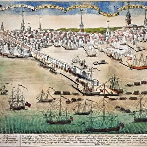
The Landing of the British troops at Boston, Massachusetts, on 1 October, 1768 to enforce the writs of assistance: color engraving, 1770, by Paul Revere
Boston Print, 1903 Engraving
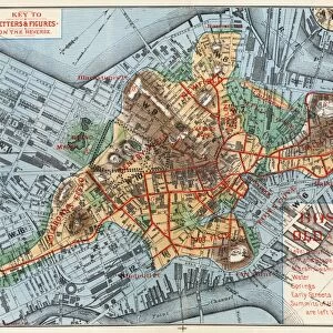
Boston Map Print, 1775-1776 Line Engraving
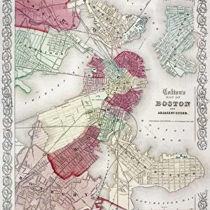
MAP: BOSTON, 1865. A map of Boston, Massachusetts, and adjacent cities, 1865, by George W. Colton
Boston Print, c1880 Map of the City's Expansion
BOSTON: CHARLES RIVER, 1789. View of the Charles River Bridge, Boston, Massachusetts (with Charlestown in the background), which was 1, 503 feet long and 43 feet wide when completed and opened to the public on 17 June 1786. Wood engraving after a copper e
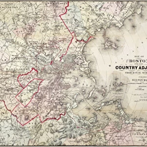
Boston Print, 1883 Map of Massachusetts Environs
BOSTON MASSACRE, 1770. Colored engraving, 1770, by Paul Revere, plagiarized by Revere from Henry Pelham
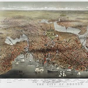
Boston Bird's-Eye View Print, 1873
BOSTON, MASS. 1838. Boston from the Dorchester Heights: colored engraving, 1838, after W. H. Bartlett
Boston Map Print, 1722
BOSTON: FANEUIL HALL, 1776. Faneuil Hall, Boston, Massachusetts, as it appeared in 1776: colored engraving
Boston Print: Swan Boats in the Public Gardens, oil over photograph
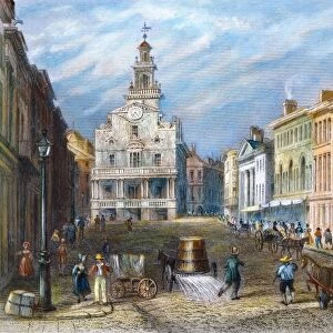
BOSTON: STATE STREET. Colored engraving, 1837
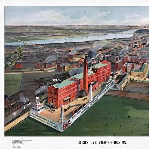
BOSTON, 1902. Birds eye view of Boston, Massachusetts, looking towards the Charles River and Boston Harbor, with a Beach & Clarridge bottling plant prominently featured in the foreground. Lithograph, 1902, by George H. Walker & Company
Color photograph print of Bowdoin Square in Boston, Massachusetts
HASSAM: RAINY BOSTON, 1885. Childe Hassam: Rainy Day in Boston. Oil on canvas, 1885
LANE: BOSTON HARBOR. Boston Harbor, Sunset. Oil on canvas by Fitz Hugh Lane, 1850-55
BOSTON: NORTH STATION. North Railroad Station at Boston, Massachusetts. Photopostcard, c1910
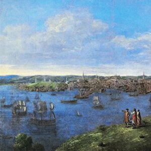
VIEW OF BOSTON, 1738. Oil on canvas, 1738, by John Smibert
BOSTON: THEATER, 1798. The Haymarket Theatre, Boston. Watercolor by Archibald Robertson, 28 September 1798
BOSTON: BEACON STREET. Beacon Street and the New State House seen from the Common. Copy of a watercolor by J. R. Smith, c1809
BOSTON: WASHINGTON STREET. The Shopping Hour, Washington Street, Boston, Mass. Postcard, c1910
BOSTON, 1850. Aerial view of Boston, Massachusetts. Lithograph, 1850, by John Bachmann after his own drawing


© GRANGER - Historical Picture Archive 2026
Orders fulfilled by Media Storehouse®
We accept all major payment options so you can pay for the things you need in the way that is most convenient for you