Home > Europe > United Kingdom > England > London > Sights > Victoria Park
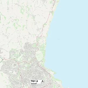
South Hams TQ6 9 Map

![]()
Wall Art and Photo Gifts from Map Marketing
South Hams TQ6 9 Map
Postcode Sector Map of South Hams TQ6 9
Media ID 19979196
A379 Badger Close Britannia Avenue Broadstone Carey Road Charles Street Chestnut Avenue Chestnut Grove Church Close Church Road Clarence Street College Way Collingwood Close Collingwood Road Coombe Close Coombe Road Creek Road Davis Road Duke Street Ford Grenville Close Hermitage Road Higher Street Jubilee Close Kingston Lane Lake Street Lower Street Market Street Mayflower Close Mill Crescent Milton Lane Nelson Road Newcomen Road Newport Street Oakwood Close Old Mill Lane Oxford Street Prince Of Wales Drive Raleigh Close Raleigh Street Ridge Hill Rodney Close Seymour Drive Smith Street South Hams The Quay Town Close Union Street Vicarage Hill Victoria Place Victoria Road Victory Road Windsor Road Bayards Cove Dartmouth Mansion House Street Spithead
FEATURES IN THESE COLLECTIONS
> Animals
> Mammals
> Muridae
> Mayors Mouse
> Arts
> Artists
> S
> Charles Smith
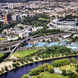
> Europe
> United Kingdom
> England
> London
> Sights
> Victoria Park
> Europe
> United Kingdom
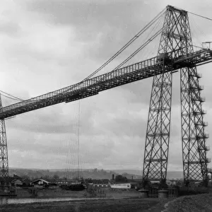
> Wales
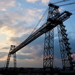
> Gwent
> Newport
> Europe
> United Kingdom
> Wales
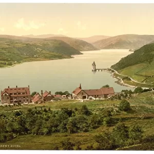
> Lakes
> Europe
> United Kingdom
> Wales
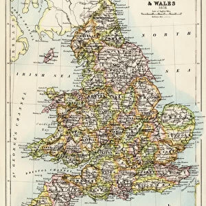
> Maps
> Europe
> United Kingdom
> Wales
> Newport
> Europe
> United Kingdom
> Wales
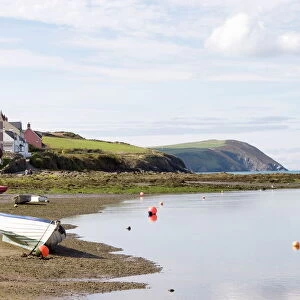
> Pembrokeshire
> Newport
> Europe
> United Kingdom
> Wales
> Posters
> Europe
> United Kingdom
> Wales
> Related Images
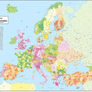
> Map Marketing
> Postcode Sector Maps
> TQ - Torquay
> Map Marketing
> UK Maps
MADE IN THE USA
Safe Shipping with 30 Day Money Back Guarantee
FREE PERSONALISATION*
We are proud to offer a range of customisation features including Personalised Captions, Color Filters and Picture Zoom Tools
SECURE PAYMENTS
We happily accept a wide range of payment options so you can pay for the things you need in the way that is most convenient for you
* Options may vary by product and licensing agreement. Zoomed Pictures can be adjusted in the Cart.