Home > Europe > United Kingdom > England > London > Politics > Gordon Brown
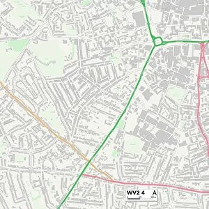
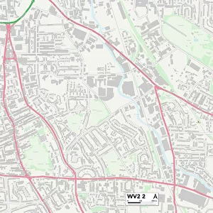
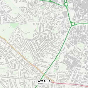
Wolverhampton WV2 1 Map

![]()
Wall Art and Photo Gifts from Map Marketing
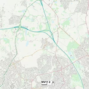
Wolverhampton WV2 1 Map
Postcode Sector Map of Wolverhampton WV2 1
Media ID 19983314
All Saints Road Birmingham Road Brown Street Caledonia Road Cartwright Street Christopher Road Cleveland Road Dartmouth Street Gordon Street Gower Street Granville Close Granville Street Howard Street Lever Street Maxwell Road Pond Lane Raby Street Silver Birch Road Snow Hill Sutherland Place The Square Vicarage Road Waterside Close Wolverhampton
FEATURES IN THESE COLLECTIONS
> Arts
> Artists
> H
> George Howard
> Europe
> United Kingdom
> England
> Cleveland
> Europe
> United Kingdom
> England
> London
> Politics
> Gordon Brown
> Europe
> United Kingdom
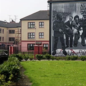
> Northern Ireland
> County Londonderry
> Derry
> Europe
> United Kingdom
> Scotland
> Sutherland
> Map Marketing
> Postcode Sector Maps
> WV - Wolverhampton
> Maps and Charts
> Related Images
MADE IN THE USA
Safe Shipping with 30 Day Money Back Guarantee
FREE PERSONALISATION*
We are proud to offer a range of customisation features including Personalised Captions, Color Filters and Picture Zoom Tools
SECURE PAYMENTS
We happily accept a wide range of payment options so you can pay for the things you need in the way that is most convenient for you
* Options may vary by product and licensing agreement. Zoomed Pictures can be adjusted in the Cart.