Home > Europe > United Kingdom > England > London > Towns > Woodside Park
Milton Keynes MK11 1 Map

![]()
Wall Art and Photo Gifts from Map Marketing
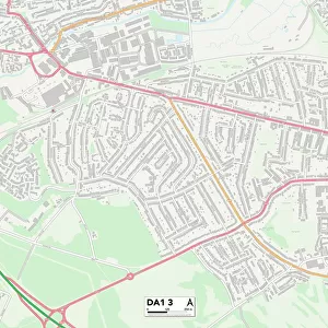
Milton Keynes MK11 1 Map
Postcode Sector Map of Milton Keynes MK11 1
Media ID 19974770
Blenheim Avenue Chestnut Close Church Street Claremont Avenue Clarence Road Coronation Road Hastings Hawkins Close High Street Horn Lane King Street Kingston Avenue London Road Magdalen Close Manse Close Market Square Milford Avenue Mill Lane Milton Keynes New Street Oxford Street Park Road Prospect Road Queen Street Ridgeway Russell Street Silver Street St Marys Avenue The Limes Tudor Gardens Vicarage Road Vicarage Walk Willow Lane Wolverton Road Woodside York Road Barford Breton Hayes Latimer Mk11 Ryeland
FEATURES IN THESE COLLECTIONS
> Animals
> Insects
> Spiders
> Silver Garden
> Arts
> Artists
> H
> George Hawkins
> Europe
> United Kingdom
> England
> London
> Sights
> Green Park
> Europe
> United Kingdom
> England
> London
> Sights
> High Court
> Europe
> United Kingdom
> England
> London
> Towns
> Hayes
> Europe
> United Kingdom
> England
> London
> Towns
> Mill Hill
> Europe
> United Kingdom
> England
> London
> Towns
> Stratford
> Europe
> United Kingdom
> England
> London
> Towns
> Woodside Park
> Europe
> United Kingdom
> England
> London
> Towns
> Woodside
> Europe
> United Kingdom
> Wales
> Flintshire
> Buckley
> Map Marketing
> Postcode Sector Maps
> MK - Milton Keynes
MADE IN THE USA
Safe Shipping with 30 Day Money Back Guarantee
FREE PERSONALISATION*
We are proud to offer a range of customisation features including Personalised Captions, Color Filters and Picture Zoom Tools
SECURE PAYMENTS
We happily accept a wide range of payment options so you can pay for the things you need in the way that is most convenient for you
* Options may vary by product and licensing agreement. Zoomed Pictures can be adjusted in the Cart.