Home > Europe > United Kingdom > England > Durham > Stanley
Liverpool L19 8 Map

![]()
Wall Art and Photo Gifts from Map Marketing
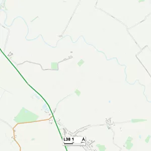
Liverpool L19 8 Map
Postcode Sector Map of Liverpool L19 8
Media ID 19972905
Adam Close Aston Street Banks Lane Banks Road Brunswick Street Canterbury Street Cricket Close Dale Street Durham Street Hardy Street Hughes Street King Street Lincoln Street Liverpool Lord Street Lyon Street Priory Street Raglan Close Sinclair Street Stanley Street Thomas Close Vulcan Close York Street York Way Harbour Drive
FEATURES IN THESE COLLECTIONS
> Arts
> Artists
> H
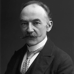
> Thomas Hardy
> Europe
> United Kingdom
> England
> Durham
> Durham
> Europe
> United Kingdom
> England
> Durham
> Stanley
> Map Marketing
> Postcode Sector Maps
> L - Liverpool
> Maps and Charts
> Related Images
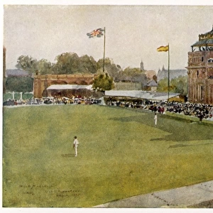
> Sport
> Cricket
> Related Images
MADE IN THE USA
Safe Shipping with 30 Day Money Back Guarantee
FREE PERSONALISATION*
We are proud to offer a range of customisation features including Personalised Captions, Color Filters and Picture Zoom Tools
SECURE PAYMENTS
We happily accept a wide range of payment options so you can pay for the things you need in the way that is most convenient for you
* Options may vary by product and licensing agreement. Zoomed Pictures can be adjusted in the Cart.