Home > Europe > United Kingdom > Wales > Powys > Montgomery
Knowsley L35 3 Map

![]()
Wall Art and Photo Gifts from Map Marketing
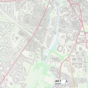
Knowsley L35 3 Map
Postcode Sector Map of Knowsley L35 3
Media ID 19974099
Beatty Close Drake Close Fisher Avenue Fisher Place Glenwood Close Jubilee Drive Knowsley Lake View Lancaster Avenue Littlewood Close Main Drive Mitre Close Montgomery Close Nelson Avenue Nelson Place Old Orchard Orchard Close Orchard Gardens Paradise Lane Parkwood Road Peel Close Pottery Close Pottery Lane Priory Close Ramsey Close Sandiway Sherwood Drive Simons Close St Nicholas Road Woodend Driveway Dursley East Front Haslemere Kingsnorth Lyneham Main Front Martock North Front Old Hall Selborne Skeffington South Front Whiston
FEATURES IN THESE COLLECTIONS
> Europe
> United Kingdom
> Wales
> Powys
> Montgomery
> Map Marketing
> Postcode Sector Maps
> L - Liverpool
> Maps and Charts
> Related Images
MADE IN THE USA
Safe Shipping with 30 Day Money Back Guarantee
FREE PERSONALISATION*
We are proud to offer a range of customisation features including Personalised Captions, Color Filters and Picture Zoom Tools
SECURE PAYMENTS
We happily accept a wide range of payment options so you can pay for the things you need in the way that is most convenient for you
* Options may vary by product and licensing agreement. Zoomed Pictures can be adjusted in the Cart.