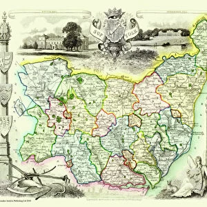
1696, Danckerts Map of Florida, the West Indies, and the Caribbean, topography, cartography

![]()
Wall Art and Photo Gifts from Liszt Collection
1696, Danckerts Map of Florida, the West Indies, and the Caribbean, topography, cartography
1696, Danckerts Map of Florida, the West Indies, and the Caribbean
Liszt Collection of nineteenth-century engravings and images to browse and enjoy
Media ID 14004469
© Artokoloro Quint Lox Limited
1696 Antique Map Latitude Longitude Mappa Mundi Old Antique Plan Old Antique View Ols Antique Map Rare Old Maps Topo
EDITORS COMMENTS
This vintage print showcases the exquisite 1696 Danckerts Map of Florida, the West Indies, and the Caribbean. A true masterpiece in cartography, this map offers a fascinating glimpse into the topography and geography of these regions during that era. With intricate details and precise measurements, it serves as a valuable historical document for explorers and scholars alike. The artistry of this ancient map is evident in its decorative elements and meticulous illustrations. Every line on this paper tells a story of discovery and exploration, capturing the spirit of adventure that characterized those times. Its aged appearance adds to its charm, reminding us of the rich history behind it. As we gaze upon this rare old map, we are transported back in time to an age when navigation was still being mastered. The grid lines denote latitude and longitude coordinates with geometric precision, allowing seafarers to navigate their way through uncharted waters. This piece from Liszt Collection evokes a sense of wonderment about our world's past. It invites us to imagine what life was like centuries ago when these lands were still being discovered by intrepid explorers. Whether you are an avid collector or simply appreciate historical artifacts, this antique map is sure to spark your curiosity about our planet's ever-evolving landscapes throughout history.
MADE IN THE USA
Safe Shipping with 30 Day Money Back Guarantee
FREE PERSONALISATION*
We are proud to offer a range of customisation features including Personalised Captions, Color Filters and Picture Zoom Tools
SECURE PAYMENTS
We happily accept a wide range of payment options so you can pay for the things you need in the way that is most convenient for you
* Options may vary by product and licensing agreement. Zoomed Pictures can be adjusted in the Cart.