Home > Arts > Artists > W > George White
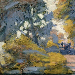
Map of Europe, between 1913 and 1917. Creator: Harris & Ewing. Map of Europe, between 1913 and 1917. Creator: Harris & Ewing

![]()
Wall Art and Photo Gifts from Heritage Images
Map of Europe, between 1913 and 1917. Creator: Harris & Ewing. Map of Europe, between 1913 and 1917. Creator: Harris & Ewing
Map of Europe, between 1913 and 1917. Bartholomew's Railway & Steamship Map of Europe and the Mediterranean
Heritage Images features heritage image collections
Media ID 36245195
© Heritage Art/Heritage Images
Bartholomew Co Bartholomew John Son Glass Negatives Gmgpc Jg Bartholomew John Bartholomew And Son John Bartholomew Co John Bartholomew Son John Bartholomew Son Ltd Route Steam Ship Steamship Ewing Harris Ewing Martha George W George W Harris Harris Harris And Ewing Harris Ewing Harris Ewing Collection Harris Ewing Inc Harris Ewing Photographic Studio Harris George W Kuntze Martha Martha Ewing Martha Ewing Newcombe Martha Kuntze Newcombe Martha Ewing Routes
FEATURES IN THESE COLLECTIONS
> Arts
> Artists
> W
> George White
> Arts
> Artists
> W
> John White
> Maps and Charts
> Related Images
> North America
> United States of America
> Maps
> Popular Themes
> Railway Posters
EDITORS COMMENTS
This photograph showcases a detailed Map of Europe, as it appeared between 1913 and 1917. The map, titled 'Bartholomew's Railway & Steamship Map of Europe and the Mediterranean,' was created by Harris & Ewing, a prominent American photographic studio based in Washington D.C. during the early 20th century. The map, published by John Bartholomew & Son, Ltd., meticulously illustrates the political boundaries, major cities, and transportation networks of Europe during this period. Railways and shipping routes crisscross the continent, connecting countries and facilitating travel between them. The Mediterranean Sea is depicted with intricate detail, highlighting key ports and islands. The photograph itself is a glass negative, a testament to the advanced photographic techniques of the time. It is believed that this particular image was taken by George W. Harris or Martha Ewing, both renowned photographers who worked for Harris & Ewing. Martha Ewing Newcombe, another notable figure in the studio, may have also contributed to the creation of this map print. This image offers a glimpse into the past, providing valuable insights into the geography and transportation networks of Europe during a pivotal time in history. It serves as a reminder of the importance of exploration, travel, and the interconnectedness of the world.
MADE IN THE USA
Safe Shipping with 30 Day Money Back Guarantee
FREE PERSONALISATION*
We are proud to offer a range of customisation features including Personalised Captions, Color Filters and Picture Zoom Tools
SECURE PAYMENTS
We happily accept a wide range of payment options so you can pay for the things you need in the way that is most convenient for you
* Options may vary by product and licensing agreement. Zoomed Pictures can be adjusted in the Cart.