Home > Arts > Landscape paintings > Waterfall and river artworks > River artworks
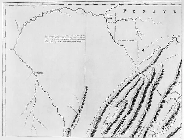
VIRGINIA: HENRY MAP, 1770. One of four part of an engraved map of colonial Virginia drawn by Colonel John Henry, father of Patrick Henry. This part shows the northwestern part of the Commonwealth, south of the Ohio River
![]()

Wall Art and Photo Gifts from Granger
VIRGINIA: HENRY MAP, 1770. One of four part of an engraved map of colonial Virginia drawn by Colonel John Henry, father of Patrick Henry. This part shows the northwestern part of the Commonwealth, south of the Ohio River
Granger holds millions of images spanning more than 25,000 years of world history, from before the Stone Age to the dawn of the Space Age
Media ID 7560093
1770 Blue Ridge Mountain Colonial Detail Henry North West Ohio River South East Virginia Alleghany
FEATURES IN THESE COLLECTIONS
> Arts
> Landscape paintings
> Waterfall and river artworks
> River artworks
EDITORS COMMENTS
This print showcases a significant piece of American history - the "VIRGINIA: HENRY MAP, 1770". Engraved by Colonel John Henry, father of the renowned Patrick Henry, this map is one part of a four-part series that provides an invaluable glimpse into colonial Virginia. In this particular section, we are transported to the northwestern region of the Commonwealth, situated just south of the majestic Ohio River. The intricate details captured in this engraving allow us to explore and appreciate the vastness and beauty of this area during that time period. As we delve deeper into the image, our eyes are drawn to various landmarks and geographical features. From the towering Alleghany Mountains to the serene Blue Ridge Mountain range, every element tells a story about Virginia's rich natural heritage. The significance of this historical artifact cannot be overstated. It serves as a testament to early cartography in America and offers valuable insights into how people perceived and navigated their surroundings centuries ago. Thanks to Granger Art on Demand's meticulous preservation efforts, we can now admire this remarkable piece from their Carousel Collection. This print not only allows us to appreciate its artistic value but also invites us on a journey through time - back when Virginia was still emerging as an integral part of colonial America.
MADE IN THE USA
Safe Shipping with 30 Day Money Back Guarantee
FREE PERSONALISATION*
We are proud to offer a range of customisation features including Personalised Captions, Color Filters and Picture Zoom Tools
FREE COLORIZATION SERVICE
You can choose advanced AI Colorization for this picture at no extra charge!
SECURE PAYMENTS
We happily accept a wide range of payment options so you can pay for the things you need in the way that is most convenient for you
* Options may vary by product and licensing agreement. Zoomed Pictures can be adjusted in the Cart.

