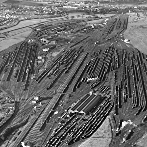
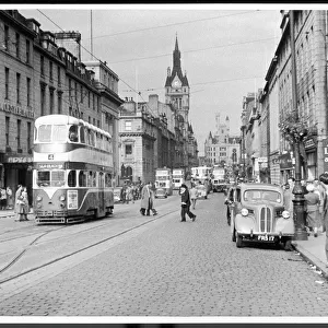
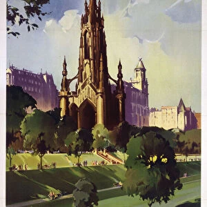
Home > Aerial Photography > Related Images
Riverside California US City Street Map

![]()
Wall Art and Photo Gifts from Fine Art Storehouse
Riverside California US City Street Map
Vector Illustration of a City Street Map of Riverside, California, USA. Scale 1:60, 000.
All source data is in the public domain.
U.S. Geological Survey, US Topo
Used Layers:
USGS The National Map: National Hydrography Dataset (NHD)
USGS The National Map: National Transportation Dataset (NTD)
Unleash your creativity and transform your space into a visual masterpiece!
Frank Ramspott
Media ID 15055155
© Frank Ramspott, all rights reserved
Aerial View California City Map Computer Graphic Directly Above Downtown District Gray Riverside Road Map Text Digitally Generated Image Green Color White Color
FEATURES IN THESE COLLECTIONS
> Aerial Photography
> Related Images
> Animals
> Insects
> Hemiptera
> Green Scale
> Animals
> Mammals
> Cricetidae
> California Mouse
> Arts
> Contemporary art
> Digital artwork
> Street art
> Arts
> Landscape paintings
> Waterfall and river artworks
> River artworks
> Arts
> Portraits
> Pop art gallery
> Street art portraits
> Arts
> Street art graffiti
> Digital art
> Digital paintings
> Arts
> Street art graffiti
> Digital art
> Vector illustrations
> Fine Art Storehouse
> Map
> Street Maps
> Fine Art Storehouse
> Map
> USA Maps
> Maps and Charts
> Geological Map
> Maps and Charts
> Related Images
EDITORS COMMENTS
This print showcases a meticulously detailed city street map of Riverside, California, USA. With a scale of 1:60,000, every intricate aspect of the city's layout is beautifully illustrated in this vector illustration. The source data used for this artwork is all from the public domain, specifically obtained from the U. S. Geological Survey and US Topo. The various layers utilized include the USGS National Hydrography Dataset (NHD) and National Transportation Dataset (NTD), ensuring accuracy and precision in depicting features such as rivers, lakes, streets, roads, and even the Santa Ana River that runs through downtown Riverside. Presented in a visually striking design with vibrant colors including shades of gray, green, blue and white; this digitally generated image offers an aerial view directly above Riverside's downtown district. The absence of people allows viewers to focus solely on exploring the physical geography depicted within this cartographic masterpiece. Created by talented artist Frank Ramspott exclusively for Fine Art Storehouse; this print serves as both an informative tool for navigation enthusiasts and a stunning piece of art that captures the essence of Riverside's urban landscape. Whether you are a resident or visitor to this remarkable city in California or simply appreciate exceptional cartography; this print will undoubtedly add sophistication to any space it graces.
MADE IN THE USA
Safe Shipping with 30 Day Money Back Guarantee
FREE PERSONALISATION*
We are proud to offer a range of customisation features including Personalised Captions, Color Filters and Picture Zoom Tools
SECURE PAYMENTS
We happily accept a wide range of payment options so you can pay for the things you need in the way that is most convenient for you
* Options may vary by product and licensing agreement. Zoomed Pictures can be adjusted in the Cart.